Geo-Mapping Unserved Populations
Map
communities without access to piped water and plan equitable service expansion.
Skills You’ll Gain
GIS, Remote Sensing, Spatial Analysis, Data Visualization, Geostatistics, Mapping Tools
Careers This Can Support
GIS Analyst, Remote Sensing Specialist, Development Planner, Mapping Technician, Data Cartographer
Industry Partner: Water Utility Company
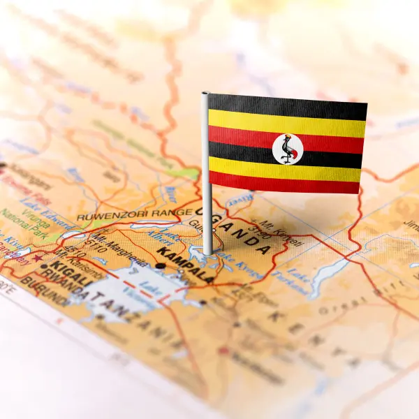
Country: Uganda
Why Choose indEx For Your Remote Industry Experience
Gain real-world experience solving urgent global challenges, while building the skills and network to launch your career.
Work Directly With a Mentor
Get guided support to grow skills and gain real insight.
Work With Companies & Organizations
Collaborate directly with companies solving real problems.
Get a Certificate and LinkedIn Recommendation
Earn a certificate that proves your practical experience.
Gain Professional Competencies
Develop industry-relevant skills through real-world projects, mentorship, and collaboration with professionals and peers.
Problem-Solving & Critical Thinking
Real industry challenges will strengthen your solution-oriented thinking.
Collaboration & Teamwork
Through teamwork, you will build strong interpersonal and collaborative abilities.
Project Management
You will learn to plan, execute, and deliver outcomes within deadlines and constraints.